8 Best 3D Mapping Software in 2026, Compared
Compare the 8 best 3D mapping software for drone photogrammetry, phone scans and 3D GIS on accuracy, licences and real yearly cost, prices checked Nov 2026.
 Shamim Mia, Founder, SerpAstraLast verified November 8, 20268 min read
We compare pricing pages, documentation and public reviews. We never accept payment for rankings.
Key takeaways
- Pix4D is the best 3D mapping software for survey-grade work, with PIX4Dmatic Standard at $3,990 a year; DroneDeploy is the pick for teams that want flight planning and cloud processing in one platform at $4,188 a year.
- Agisoft Metashape Standard is the cheapest serious photogrammetry engine at $179 one-time for a node-locked licence; Professional costs $3,499.
- Polycam turns a phone into a 3D scanner, with a free plan and Basic at $150 a year; Matterport is the standard for scanned building interiors from $90 a month billed annually.
- Capturing a 3D model and analysing it are separate jobs: ArcGIS Pro, Global Mapper and the free QGIS put drone and LiDAR outputs into a GIS for measurement and analysis.
On this page
Quick comparison
| Tool | Best for | Starting price | Free plan |
|---|---|---|---|
| Pix4D | Surveyors and engineers who need survey-grade 3D models and point clouds from drone imagery | $3,990/yr (PIX4Dmatic) | No (15-day trial) |
| DroneDeploy | Construction and inspection teams that want flight planning, cloud processing and 3D models in one platform | $4,188/yr (Individual) | No (free trial) |
| Agisoft Metashape | Mappers and 3D artists who want a capable photogrammetry engine on their own workstation for a one-time fee | $179 one-time (Standard) | No |
| Polycam | Contractors, designers and creators who want 3D scans of rooms, objects and sites from a phone | Free; Basic $150/yr | Yes (limited captures) |
| Matterport | Real estate, facilities and insurance teams that need 3D scans of building interiors | $90/mo (annual) | No |
| Esri ArcGIS Pro | GIS teams that need 3D scenes, terrain analysis and drone outputs in one professional platform | Custom quote | No (21-day trial) |
| Global Mapper | Surveyors and analysts who process LiDAR and terrain data and convert between many file formats | $599/yr (Essentials) | No (14-day trial) |
| QGIS | Students, consultancies and small teams who want free 3D map views and analysis | $0/yr | Yes (free) |
Make one of these tools?
We re-check this list every quarter. Send a correction, request a review, or ask about a clearly labeled sponsored spot.
Request a listingThe best 3D mapping software

Pix4D
Best for: Surveyors and engineers who need survey-grade 3D models and point clouds from drone imagery
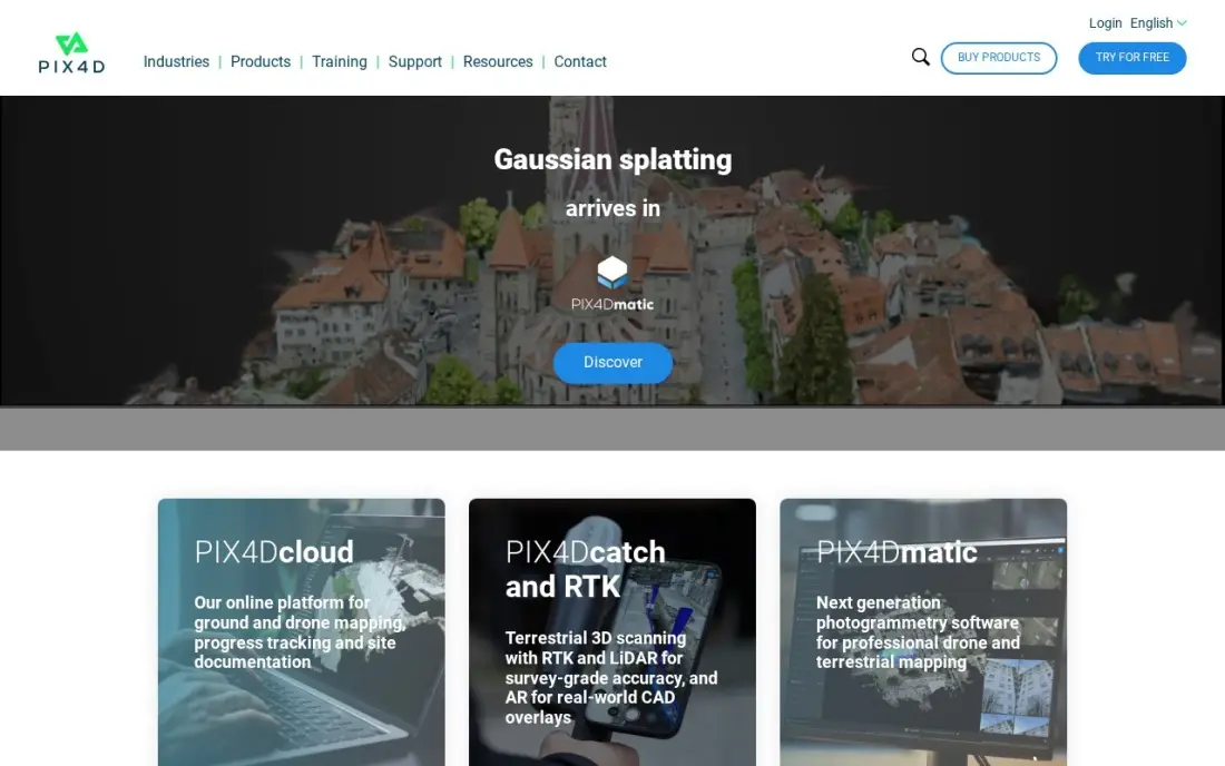
Pix4D is the photogrammetry engine surveyors trust when a 3D map has to survive an engineering review. PIX4Dmatic turns drone, mobile or LiDAR captures into orthomosaics, dense point clouds and textured meshes, with control over every processing step and outputs that drop into CAD and GIS. PIX4Dcatch adds LiDAR-assisted capture from a phone for small sites.
PIX4Dmatic Standard costs $3,990 a year, about $333 a month, and PIX4Dcloud Starter costs $1,290 a year. PIX4Dmapper stops being sold on January 1, 2027, so new buyers should learn PIX4Dmatic. The learning curve is steep, but no tool in this list gives more control over accuracy.
What we like
- The most accurate photogrammetry engine in this list, trusted by surveyors
- Desktop and cloud options, with outputs that plug into CAD and GIS workflows
- PIX4Dcatch turns a phone into a LiDAR-assisted capture device
- Control over every processing step, with orthomosaics, dense point clouds and textured meshes as outputs
Watch out for
- Steep learning curve compared with one-click measurement tools
- PIX4Dmapper stops being sold on January 1, 2027, so buyers must learn PIX4Dmatic
- No free plan, only a 15-day trial before the $3,990-a-year PIX4Dmatic licence

DroneDeploy
Best for: Construction and inspection teams that want flight planning, cloud processing and 3D models in one platform
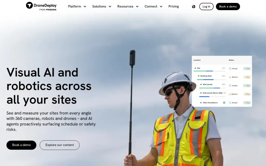
DroneDeploy handles the whole loop: plan an automated flight, fly it, upload the photos and get back an orthomosaic and a 3D model processed in the cloud, with no workstation needed. It integrates with Autodesk Construction Cloud and Skydio drones, and its AI analysis flags issues in the captured imagery, which suits progress tracking on a construction site.
The Individual plan costs $4,188 a year billed annually, about $349 a month, and covers one admin user with up to 3,000 images per map. A team needs a quote-only plan. Choose it over Pix4D when speed and repeat flights matter more than control over each processing setting.
What we like
- Mature automated flight planning and cloud processing for maps, orthomosaics and 3D models
- Works across construction, energy and inspection sites from one platform
- Strong integrations, including Autodesk Construction Cloud and Skydio drones
- AI analysis flags issues in captured imagery
Watch out for
- Individual plan covers one admin user only, so a team needs a quote-only plan
- The Individual plan processes up to 3,000 images per map
- $4,188 a year billed annually is a steep entry price for occasional mapping jobs

Agisoft Metashape
Best for: Mappers and 3D artists who want a capable photogrammetry engine on their own workstation for a one-time fee
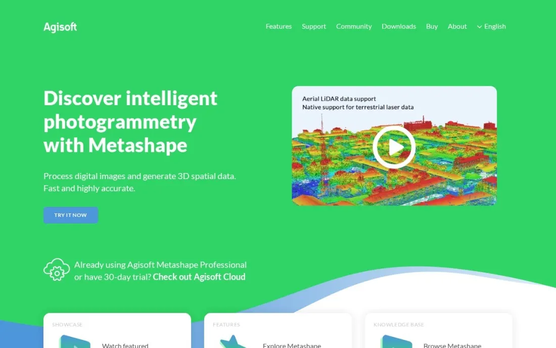
Agisoft Metashape is the desktop photogrammetry engine many mappers and 3D artists learn first, because it runs on your own workstation and does not charge per map. Standard turns overlapping photos into textured 3D meshes, which suits objects, buildings and heritage work, while Professional adds the mapping tools a surveyor needs for georeferenced outputs.
Standard costs $179 and Professional $3,499, both as node-locked licences, and a Standard licence can be upgraded later. Floating licences come through resellers on quote, and the online store takes only wire, ACH and SEPA payments. A fast GPU matters more here than with cloud tools, because your machine does the processing.
What we like
- Standard costs $179 for a node-locked licence, the lowest entry price for serious photogrammetry here
- Processing runs on your own hardware, so there are no per-map cloud fees
- Standard licences can be upgraded to Professional later
Watch out for
- Georeferenced mapping outputs need the $3,499 Professional edition
- Floating licences are sold only through resellers on quote
- The online store accepts only wire transfer, ACH and SEPA payments

Polycam
Best for: Contractors, designers and creators who want 3D scans of rooms, objects and sites from a phone
Polycam turns a phone into a 3D scanner. Point it at a room, an object or a small site and it builds a mesh through photogrammetry, LiDAR on compatible iPhones and iPads, or Gaussian splats, then lets you measure and share the result by link. The free plan covers limited captures, including 10 photogrammetry captures, so you can test it on a real job.
Basic costs $150 a year or $30 billed monthly and removes capture limits. Business costs $300 a user a year or $25 a user a month and adds floor plans, point cloud exports and georeferenced .las files. It is not survey-grade, but for quick as-built scans it is the cheapest route here.
What we like
- Free plan includes photogrammetry, LiDAR space captures and Gaussian splats
- Basic at $150 a year unlocks unlimited captures and more export formats
- Business adds 2D and 3D floor plans, point cloud exports and a shared team library
Watch out for
- LiDAR Space Mode works only on compatible iOS devices
- Georeferenced .las exports need Business or Enterprise
- Enterprise is annual only at $1,200 a user a year with a 3-user minimum

Matterport
Best for: Real estate, facilities and insurance teams that need 3D scans of building interiors
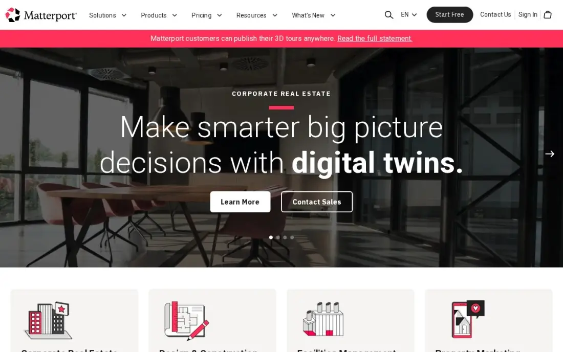
Matterport maps buildings from the inside. A scan produces a true 3D model with a dollhouse view, measurement mode and schematic floor plans, which is why agents, facility managers and insurers use it to document spaces that drones cannot fly. Tours embed on your own site and in listing portals, and MatterTags pin notes to points in the model.
Professional costs $90 a month billed annually, or $108 billed monthly, for 10 active spaces. The camera is a separate purchase, floor-plan exports carry extra fees, and tours go dark if you stop paying. Choose it when the interior is the subject; choose drone photogrammetry when the site is.
What we like
- The standard for true 3D: depth scans, dollhouse views and measurements buyers recognize
- One self-serve plan covers 10 active spaces, so a solo agent's live listings fit in a single subscription
- Schematic floor plans, MatterTags and measurement mode are included on Professional
- Tours embed on your own site and in listing portals, not only inside one marketplace
Watch out for
- Professional at $90 a month billed annually is the only self-serve plan since the October 2026 repricing, and tours go dark if you stop paying
- A Matterport camera is a separate purchase, and floor-plan exports carry extra fees
- G2 reviewers praise the 3D quality but cite ongoing hosting costs and billing friction

Esri ArcGIS Pro
Best for: GIS teams that need 3D scenes, terrain analysis and drone outputs in one professional platform
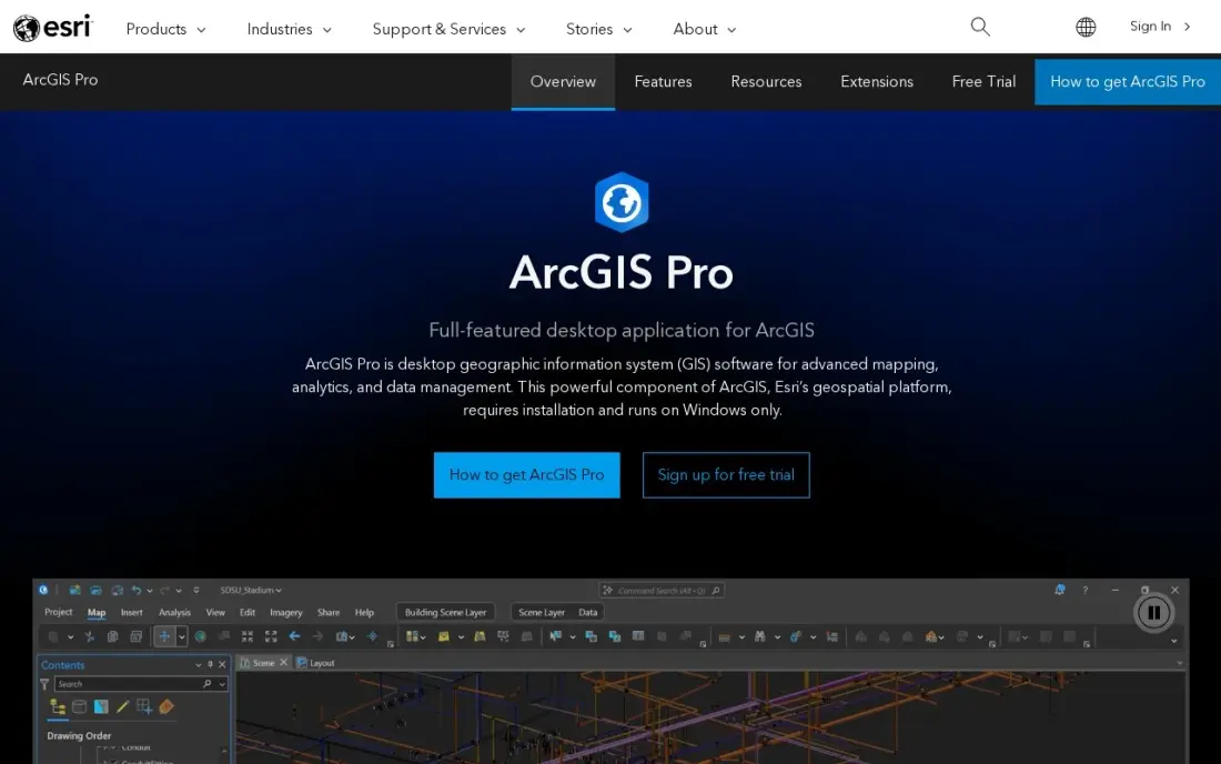
ArcGIS Pro is where many 3D maps end up after capture. It builds 3D scenes from terrain, buildings, point clouds and imagery, runs spatial analysis on them, and shares the results to the web through ArcGIS Online, so a city, utility or engineering firm can put drone outputs beside its other map layers. Python and ModelBuilder automate repeated work.
Esri publishes no dollar price. It is sold as annual user-type licences through Esri sales or a reseller, with a 21-day free trial, and extensions cost extra. The learning curve is steep. Buy it when 3D analysis feeds decisions across a team, not to make a single model.
What we like
- The professional GIS standard, with the deepest spatial analysis, 3D modeling and geoprocessing in this list
- ArcGIS Online sharing puts the same maps on the web for clients and colleagues
- Huge demographic, parcel and imagery data catalogs plug straight into the map
- Python automation and ModelBuilder repeat the same 3D analysis across every project
Watch out for
- No published dollar price — every quote runs through Esri sales or a reseller
- The learning curve is steep, and the full feature set needs paid extensions on top
- Per-user annual licenses make a large team expensive before any data is bought

Global Mapper
Best for: Surveyors and analysts who process LiDAR and terrain data and convert between many file formats
Global Mapper is the practical middle ground between a capture tool and a full GIS. It reads hundreds of spatial formats, builds terrain models and contours, and on its higher tiers processes LiDAR point clouds and photogrammetry, which makes it useful for turning raw drone and LiDAR data into surfaces, volumes and cross-sections.
Essentials costs $599 a year, Advanced $1,199 and Professional $2,199, with a 14-day free trial. LiDAR processing, photogrammetry and AI classification need Professional. Subscriptions replaced perpetual licences in September 2026, and it is mainly a Windows tool. For terrain-heavy 3D mapping, it costs far less than ArcGIS Pro.
What we like
- Reads hundreds of spatial file formats, so it converts and combines data other tools refuse
- Strong terrain modelling and LiDAR point-cloud processing on the higher tiers
- Annual subscriptions bundle support, updates and the full training library in one licence
Watch out for
- Subscriptions replaced perpetual licences in September 2026, and perpetual licences no longer gain new features
- LiDAR processing, photogrammetry and AI classification need the $2,199/year Professional tier
- Primarily a Windows desktop tool, with limited support for macOS and Linux

QGIS
Best for: Students, consultancies and small teams who want free 3D map views and analysis
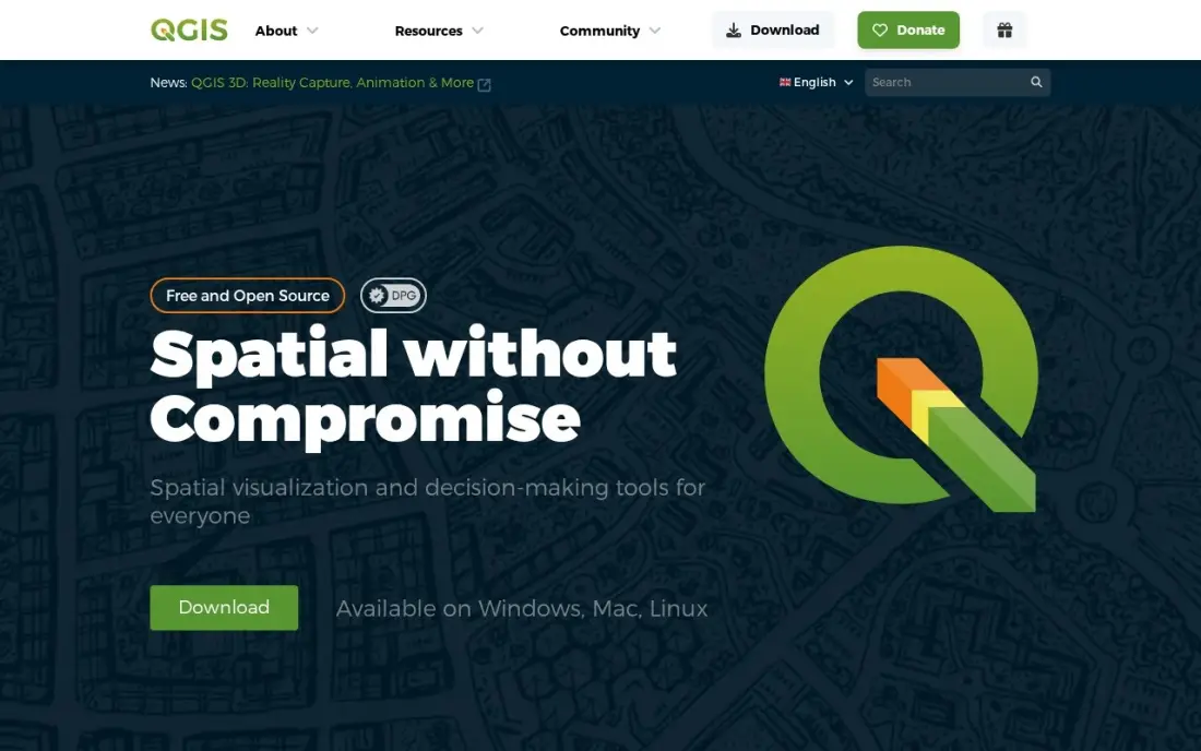
QGIS is the free option for viewing and analysing 3D map data. Its 3D map view renders terrain and extruded layers, and its plugin library extends it into point clouds, web publishing and more, so a small consultancy can load drone outputs, elevation models and vector data without paying for a licence. It runs on Windows, macOS and Linux.
It costs nothing at any team size and has no paid edition, but no vendor support contract is included, and plugin quality varies. It does not process photos into 3D models itself, so pair it with Metashape, Pix4D or DroneDeploy for capture and use QGIS for the map and the analysis.
What we like
- Free and open source under the GNU GPL, with no licence fees at any team size
- Runs on Windows, macOS and Linux, and reads dozens of vector and raster formats
- A large plugin library extends it into 3D, web publishing, field data collection and more
Watch out for
- No vendor support contract is included — paid support comes from third-party firms, not the project
- The interface packs in so many tools that new users face a real learning curve
- Advanced analysis often needs a plugin, so quality varies between community extensions
The best 3D mapping software turns photos, video or laser scans into a model you can measure: a terrain surface, a point cloud, a textured mesh of a building or a 3D scene in a GIS. We compared eight tools across the three steps of the job, capture, processing and analysis, and every price below comes from the vendor's own pricing page or our database records, checked in November 2026.
How to choose the best 3D mapping software
- Start with what you are mapping. Land and large sites suit drone photogrammetry, building interiors suit scanners such as Matterport, and rooms and objects suit a phone app.
- Decide how accurate it must be. Survey and engineering work needs ground control and a tool like Pix4D or Metashape Professional; marketing and as-built records can live with phone-scan accuracy.
- Choose cloud or desktop processing. Cloud tools such as DroneDeploy need no workstation but charge every year; desktop tools such as Metashape run on your own GPU.
- Check the outputs. Make sure the tool exports the formats your next step needs, such as point clouds, meshes, orthomosaics or georeferenced .las files.
- Plan the analysis step. A model is only useful if someone measures it, so check whether you also need a GIS such as ArcGIS Pro, Global Mapper or QGIS.
- Count the licences. Several tools here cover one user, so a team pays per seat or moves to a quote-only plan.
3D maps also make strong web content for survey, construction and real estate firms, but only if search engines can understand the page. Our SEO audit checks whether your project pages and case studies are being indexed and ranked.
3D mapping software pricing: what you will actually pay
Take a small survey firm with one pilot that maps sites every week. PIX4Dmatic Standard costs $3,990 a year, and adding PIX4Dcloud Starter for sharing brings the total to $5,280. DroneDeploy Individual costs $4,188 a year with cloud processing included. Agisoft Metashape Professional costs $3,499 once, so by the second year it costs less than either subscription, though the firm pays for its own workstation and support renewals as they arise.
For lighter work, the numbers drop fast. Metashape Standard costs $179 once, Polycam Basic $150 a year or $360 a year if billed monthly at $30, and Global Mapper Essentials $599 a year. Matterport Professional costs $90 a month billed annually, or $1,080 a year, plus the camera. QGIS costs nothing, and ArcGIS Pro is quote only through Esri or a reseller.
Know the difference: drone photogrammetry vs indoor scanning
Drone photogrammetry maps from above. A drone flies a grid, takes hundreds of overlapping photos and software such as Pix4D, DroneDeploy or Metashape stitches them into an orthomosaic, a terrain model and a 3D mesh. It covers a large site in one flight and, with ground control points, can reach survey-grade accuracy.
Indoor scanning maps from inside. Matterport cameras and LiDAR phones capture walls, rooms and fittings that a drone cannot see, producing walkthrough models, floor plans and measurements. The two are often combined on one project: drone data for the site and roof, interior scans for the building, with a GIS or CAD tool pulling both together.
Quick comparison: tool type by need
| Buyer | Best pick | Why |
|---|---|---|
| Surveyors and engineers | Pix4D | Survey-grade photogrammetry, PIX4Dmatic Standard $3,990/year |
| Construction progress | DroneDeploy | Flight planning and cloud processing, $4,188/year |
| Desktop on a budget | Agisoft Metashape | Standard $179 one-time, Professional $3,499 |
| Phone scanning | Polycam | Free plan, Basic $150/year |
| Building interiors | Matterport | Dollhouse 3D models, $90/month billed annually |
| Enterprise GIS teams | Esri ArcGIS Pro | 3D scenes and analysis, quote only |
| LiDAR and terrain | Global Mapper | Terrain and point-cloud tools from $599/year |
| Free analysis | QGIS | Open-source GIS with a 3D map view |
Mistakes to avoid
- Skipping ground control. Without ground control points or an RTK drone, a beautiful model can be off by metres; plan accuracy before the flight, not after.
- Underpowering the workstation. Desktop photogrammetry needs a strong GPU and plenty of RAM; a slow machine turns a one-hour job into an overnight one.
- Paying for cloud you rarely use. If you map a few sites a year, a one-time desktop licence may cost less than an annual cloud plan.
- Choosing a tool before checking exports. If your CAD or GIS team cannot open the output, the model has to be redone; confirm formats on a trial.
- Forgetting the data. 3D maps are large files, so budget for storage and agree who keeps the raw images.
Related comparisons: Mapping Software for Business · 3D Design Software · Free Wifi Heat Mapping Software · Free CAD Software for 3D Printing
How we chose
We grouped tools by the step they handle, capture, processing or analysis, and picked the most-used option at each price point. Prices come from vendor pricing pages and our records checked in November 2026; Agisoft's and Polycam's pages were read on November 16, 2026. Tools without a published price are marked quote only. Ratings come from G2 pages on the dates shown in the sources. No vendor paid for a place in this list, and none of the links here are affiliate links.
What to do next
Run one real site through two tools: a free Polycam or QGIS test for the quick view, and a trial of Pix4D or DroneDeploy for the accurate model, then compare the measurements against a known distance. If your mapping work is strong but your website does not win enquiries, book a free SEO review.
Frequently asked questions
What is the best 3D mapping software?
Pix4D is the best 3D mapping software for survey-grade drone photogrammetry, with PIX4Dmatic Standard at $3,990 a year. DroneDeploy is the pick for cloud processing and flight planning at $4,188 a year, and Agisoft Metashape Standard is the low-cost desktop option at $179.
Is there free 3D mapping software?
Yes. QGIS is free and open source with a 3D map view, and Polycam has a free plan with limited captures, including 10 photogrammetry captures. Free tools are fine for learning and small jobs, but survey-grade processing usually needs a paid engine.
How much does 3D mapping software cost?
On published prices, Agisoft Metashape costs $179 for Standard or $3,499 for Professional, Polycam Basic $150 a year, Global Mapper Essentials $599 a year, Pix4D PIX4Dmatic Standard $3,990 a year and DroneDeploy Individual $4,188 a year. ArcGIS Pro is quote only.
Can I make a 3D map with a phone?
Yes. Polycam builds 3D models from phone photos, video or LiDAR on compatible iPhones and iPads, and PIX4Dcatch adds LiDAR-assisted phone capture to the Pix4D workflow. Phone scans suit rooms, objects and small sites rather than large surveys.
What is the difference between photogrammetry and LiDAR?
Photogrammetry builds 3D geometry from many overlapping photos, so it needs good light and texture. LiDAR measures distance with laser pulses, so it captures shape directly and works better under vegetation. Many tools here process both.
Do I need a drone for 3D mapping?
Not always. Drones are the fastest way to map land and large sites, but interiors are mapped with scanners such as Matterport, and small objects and rooms can be scanned with a phone in Polycam.
Sources we checked (13)
- Pix4D — www.pix4d.com/pricing (checked November 8, 2026)
- DroneDeploy — www.dronedeploy.com/pricing (checked November 8, 2026)
- DroneDeploy reviews on G2 (checked November 8, 2026)
- Agisoft Metashape — www.agisoft.com/buy/online-store (checked November 16, 2026)
- Polycam — poly.cam/pricing (checked November 16, 2026)
- Matterport — matterport.com/plans (checked November 10, 2026)
- Matterport reviews on G2 (checked November 10, 2026)
- Esri ArcGIS Pro — www.esri.com/en-us/arcgis/products/arcgis-pro/buy (checked November 8, 2026)
- Esri ArcGIS Pro reviews on G2 (checked November 8, 2026)
- Global Mapper — www.bluemarblegeo.com/purchase (checked November 10, 2026)
- Global Mapper reviews on G2 (checked November 10, 2026)
- QGIS — qgis.org/download (checked November 10, 2026)
- QGIS reviews on G2 (checked November 10, 2026)
Make one of these tools?
We re-check this list every quarter. Send a correction, request a review, or ask about a clearly labeled sponsored spot.
Request a listingShamim
Founder of SerpAstra
A full-stack digital marketer and SEO strategist covering technical and local SEO, AI search visibility, paid ads and lead generation for local businesses, e-commerce brands and SaaS teams.
Free SEO and AI visibility audit
Find out what is holding your rankings back
Send us your site. Within 2 business days you get a written audit, an AI visibility check and a short fix list ranked by impact. Free, with no contract attached.
Request my free audit→Related buying guides
 Construction & Field Service7 Best Drone Software in 2026, ComparedCompare the 7 best drone software tools for mapping, photogrammetry, flight logs and fleet compliance, with real prices for pilots and teams checked by hand.Read guide →
 CAD, GIS & EngineeringBest Geospatial Software for 2026: 10 Options Compared by Use CaseBest geospatial software compared by use case: 10 options with real 2026 prices, free plans and ratings, from free QGIS to enterprise ArcGIS Pro.Read guide →
 Data, Analytics & AI8 Best Mapping Software for Business in 2026, ComparedCompare the 8 best mapping software for business on territory, route and customer mapping, with real prices per user, free plans and trials checked Nov 2026.Read guide →